Agnes & 1770 for History, Refuge & Adventure
(All map references in this article refer to maps in the Gladstone Pocket Book 23rd Edition)
Agnes Water and 1770 are the district's historical 'front' to Queensland. This is a great place for Happy Rock residents to spend a weekend. While the locals relish the area continuously, even travellers from Brisbane and interstate come regularly.
The front cover photos and stories for Pocket Book usually rotate through a three-year cycle. One year features a Gladstone industrial or business story, eg the LNG gas two years ago. The next year has a Gladstone event or social story, eg the Gladstone entertainment centre last year. The third year has a regional town or district story, eg Agnes Water and Seventeen Seventy this year.
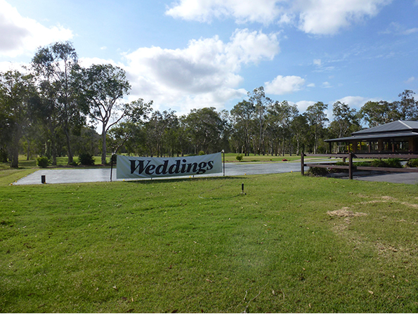
Driving into Agnes Water, Seventeen Seventy gets a bit ahead of itself. One of the first major entertainment precincts is the "1770 Golf Course & Driving Range" opposite the Ambulance (Map 103 F6), but still at Round Hill, and still around five kilometres before the Seventeen Seventy turnoff.
Jo-Anne and Lance Lawrence have a 9 hole golf course surrounded within their 68 acres by natural bushland. It is of little wonder that formal weddings are so popular here in the huge white marquee. For more details, see the inside back cover of this book.
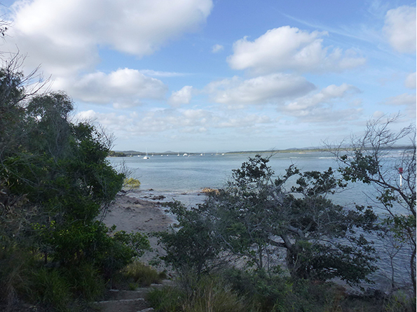
Wedding guests, fishermen, surfers and bushwalkers enjoy the roaring surf, the tranquil waters and the bush tracks around Agnes and 1770.
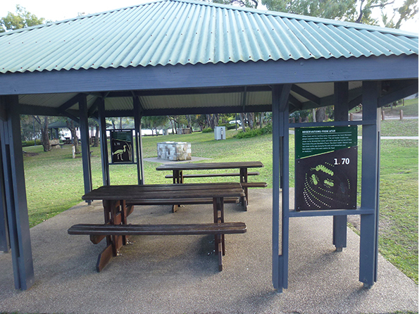
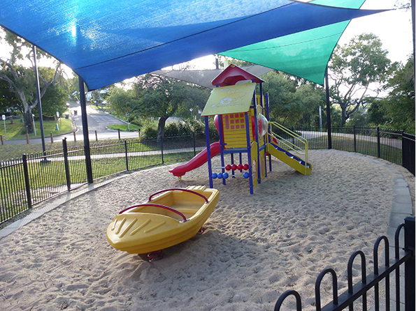
The surf beach is entered through Tom Jeffery Park at the end of Agnes St (Map 103 C6). The children's play area has views to the beach. The original Agnes Water Surf Club was established here in 1989. While the club has expanded and moved up towards 1770, the old building is still used as the patrol hut for this beach.
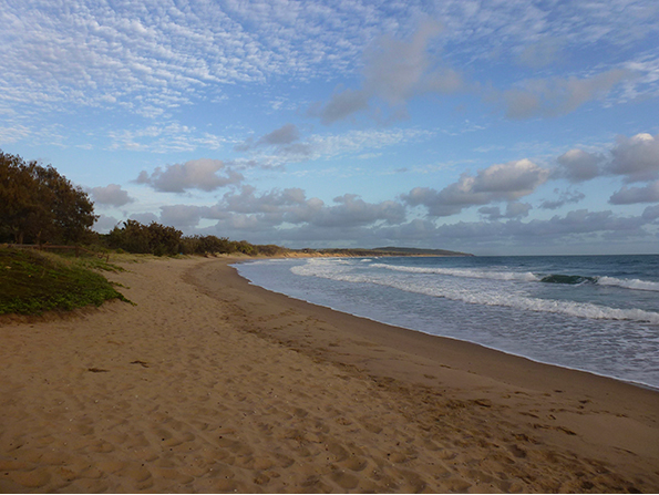
Above is the Agnes Water Surf Beach in Nov 2014 at about 5:30 am.
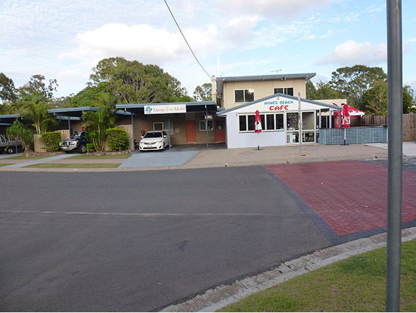
The Mango Tree motel is one of the much more established businesses in the modern development of Agnes Water, it was built when the area was still known as Agnes Waters.
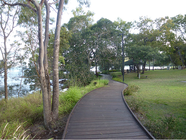
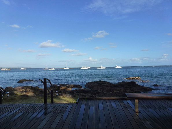
The boardwalk at 1770 is part of the history tour. The 'observations' information is told from the aspect of what some of the local aborigines must have thought of Cook and Banks.
The plaque says: The tall leader (Cook) was clever as he directed the canoe (the ship's longboat) and had a good look at two of our food trees - (the Fig and the Burdekin Plum). The short leader (Banks) was not clever as he was stung by the ants and caterpillars and took away plants that were useless for food or medicine."
This 'observation' is really a bit unfair to Banks. He probably already knew the Fig and Plum, and Joseph had financed nearly the entire voyage from England from his own private wealth.
Near the plaque is this children's playground. This obviously contains a very real replica of Lieutenant Cook's "canoe", which he would have called the Endeavour's longboat.
You may wonder why I refer to Cook as Lieutenant (pronounced Left-tenant). Cook was not promoted to Captain until his third voyage, when he was seeking the north passage, around the top of Canada. His first voyage was to study the Transit of Venus in mid 1769 at Tahiti, followed by the opening of the sealed orders, to discover, in 1770, the great southern land, or Terra Australis, in Latin. On the way he sailed completely around both islands of New Zealand, a few months before sailing up the east coast of Australia.
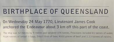
The Birthplace of Queensland plaque writes this naval rank distinction clearly. "On Wednesday 24th May 1770, Lieutenant James Cook anchored the Endeavour about 3 km of this part of the coast."
The ship as 32 metres long, and, at its broadest, was 9 metres. It weighed 374 tons. (English tons of 2,240 pounds, not metric tonnes of 1,000 kg or 2,200 pounds.)
Cook went ashore near Round Hill Head with botanist Joseph Banks, and his assistant Daniel Solander. Daniel was one of the four Swedish people assisting Banks.
Some of the plants they collected have been identified along the modern embankment walk.
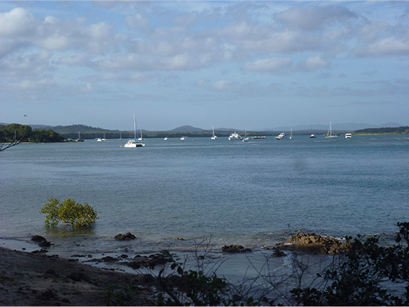
The party had landed within the southern point of the bay from where they found a channel leading into a large lagoon.
Cook's group noted many pelicans, and upon the shore, a species of bustard. They shot and cooked one bustard, considering it to be the best bird they had eaten since leaving England. In its honour, they called the area Bustard Bay. Much of the northern area is still Bustard Bay; see Map K at E1.
James did not see any Aborigines during their shore visit, but they did find campsites, fires and artifacts. From the ship, crewmembers observed some 20 Aborigines on the beach. Historians later listed these as members of the Meerooni tribe.
The next morning, 25th May 1770, at 4:30am, the Endeavour set sail. After hitting a reef, a few weeks later, it stopped at Cooktown to perform repairs.
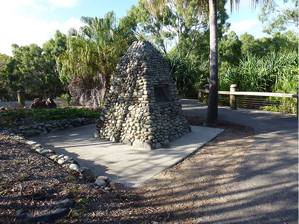
Lt James Cook Monument Cairn.
This cairn, being constructed of stones and cement, is a relatively permanent icon for Cook. It was unveiled on the 11th June 1926 by Commodore George Hyde, RAN Commander of His Majesty's Australian Fleet, with HMAS Sydney anchored in the bay.
The Royal Geographical Society of Australia and the Queensland Historical Society worked in unison to have this cairn erected in honour of Captain James Cook. Sir Mathew Nathan, the Governor of Queensland and also President of the Royal Geographical Society opened a public appeal that was generously filled within a month.
The local Agnes Water resident Philip Elliot, using his launch, ferried Professor Cumbrae-Stewart across the bar and then followed Cook's course coming back, thus giving a good idea of where Cook landed.
James Cook also is famous in Canada. His meticulous maps of the reefs and shoreline of Hudson Bay assisted the English to win their battles against the French.
On Cook's second journey he sailed farther south than any other European. He circled Antarctica in his famous ship Resolution, but the ice surrounding the continent prevented the sighting of land. The existence of Antarctica remained unproved until 1840. He returned to England in 1775 and was promoted to Captain.
In July of 1776 Cook set sail on his third voyage, again in Resolution, to look for a possible northern sea route between Europe and Asia. In 1778 he became the first know European to reach the Hawaiian Islands. Later in 1778 Cook sailed up the northwest coast of North America and was the first European to land on Vancouver Island in British Columbia. He continued up the coast through the Bering Strait and entered the Arctic Ocean. Great walls of ice blocked the expedition, so Cook headed back for the Hawaiian Islands. On February 14, 1779 Cook was stabbed to death by Hawaiian natives while investigating a theft of a boat by an islander. The expedition arrived back in England in October of 1780.
Captain Cook's voyages lead to the establishment of colonies throughout the Pacific by several European countries. He is considered one of the world's greatest explorers.
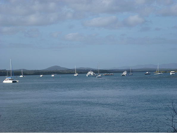
Today many 'explorers' find refuge at Seventeen Seventy in Cook's Round Hill Creek and Bustard Bay.
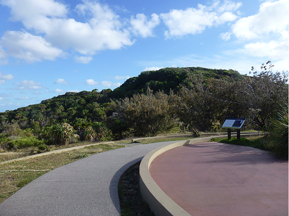
Drive up to the Round Hill Headland car park, then walk up to the Wave lookout (200m return), looking to the East, and the Bustard Bay lookout (700m return), looking out to the East and North. Visit the small western beaches.
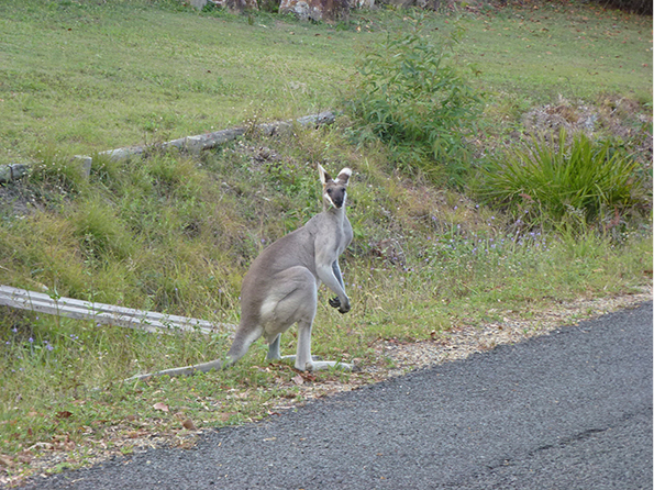
A resident of Seventeen Seventy, just on the main Captain Cook Drive.
Seventeen Seventy, starting at the 1770 Golf Course at Captains Flat, is an exciting and interesting place to visit. Agnes Water has many places offering resort style accommodation. See their entries under 'Accommodation', 'Holidays', 'Motels' and the inside back cover in this Pocket Book.
Also see the Tourist section under 'Tourist' showing over 50 places to visit in Gladstone and the surrounding districts.
Kind regards,
Gerry Clarke Pocket Books.